Hydro- and geophysical measurements at the sites of construction and operation of port facilities and oil & gas platforms as well as at subsea pipeline routes and dumping sites of environmentally hazardous materials.
KSRC offers:
- Development of methods and recommendations on the choice of tools for prompt and comprehensive monitoring of hydro- and geophysical parameters;
- Sample measurements and rapid analysis of hydro- and geophysical data as well as long-term monitoring of water areas to support the waterworks construction and ecological monitoring;
- Engineering surveys at offshore oil & gas fields in the Arctic for design of offshore facilities.
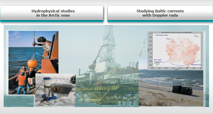
Hydrophysical measurements are taken by multi-parameter probes (SBE 19 plus, YSI 6920), acoustic (ADCP Workhorse, ADCP BB DR, Sontek ADV) and radar (CODAR Sea Sonde) instrumentation for measuring sea currents, devices for measuring optical parameters of water (turbidimeters OBS 3, LISST 25, fluorimeters Minitrack (CTI) BackScat). Geophysical measurements are taken using acoustic seabed profilers installed on seabed (Dr. Haadt, StrataBox, Bathy2000P), classifier of seabed sediments (QTCView), echo sounding systems Echotrack Mark II, JRC FF-30. Measurements can be taken in water depths ranging from 3 to 2000 m. Modern navigation systems allow mapping the of water and seabed data with high accuracy and spatial resolution. The data are processed using multi-factor analysis techniques with fast visualization of the water parameters’ distribution particularly useful for prediction of accident developments and efficient elimination of related consequences.